

Top 5 Dangerous Highways for US Truckers
The National Highway Traffic Safety Administration has recently released data from the Fatality Analysis Report (NHTSA-FARS). Here you can find 5 most dangerous highway stretches where truckers should drive carefully.
US Highway 93, Arizona
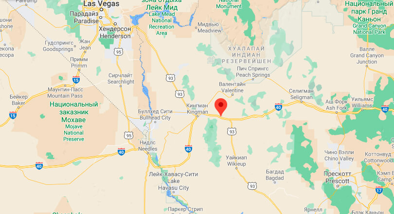
This 200-mile stretch is located in Arizona. Many trucks use it to travel between Las Vegas and Phoenix. The highway runs from Wickenburg, Arizona to the Hoover Dam bypass, also known as the Mike O’Callaghan and Pat Tillman Memorial Bridge, near the Arizona-Nevada border.
From 2010 to 2016, 90 people died in 70 fatal accidents here. Most of these accidents occurred in Mohave County in the far western part of Arizona, which includes the city of Kingman.
US Highway 160, Colorado
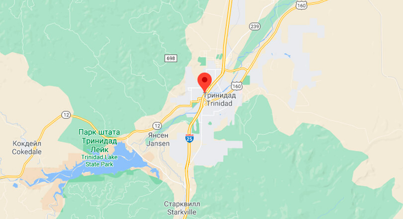
Most Colorado residents know that the Wolf Creek Pass on U.S. Highway 160 is dangerous. It’s a high mountain pass, located about 80 miles east of Durango, where many vehicles have crashed.
This 490-miles stretch of highway begins near the Colorado-New Mexico border and ends near the Colorado-Kansas border. About 80 fatal accidents occurred and 99 people died on this road from 2010 to 2016.
State Route 9, Oklahoma
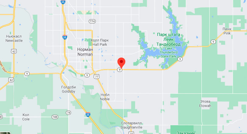
State Route 9 runs east-west through the middle of Oklahoma, between the Arkansas border and the Texas highway. It is Oklahoma’s second longest highway (348 miles), after State Route 3 (615 miles).
Between 2010 and 2016, 60 people died in 50 car accidents on this road. Most of the crashes occurred in Cleveland County, which includes the city of Norman.
Interstate 5, California
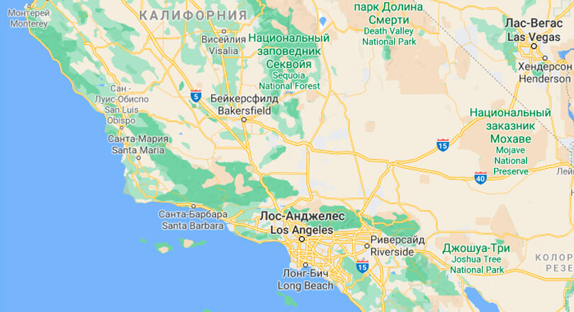
The highway stretching nearly 800 miles from Oregon to the San Ysidro crossing at the Mexican border. The interstate connects Los Angeles, San Diego, Sacramento, Santa Ana, Stockton, and Redding, intersecting with I-10 near Los Angeles and I-8 near San Diego.
The most dangerous section of the highway is in Los Angeles County, where the traffic volume is highest. Between 2010 and 2016, there were 680 fatal accidents, which killed 768 people.
I-10, Texas
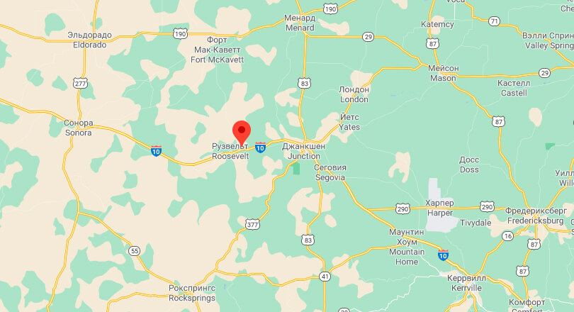
I-10 is 877-mile-long highway starts at Anthony, near the New Mexico border, and runs to Orange, near the Louisiana border. It passes through El Paso, Houston and San Antonio.
From 2010 to 2016, there were 585 fatal crashes and 676 deaths. The highest death rate is in Harris County, which includes the Houston metropolitan area.


